Map layers

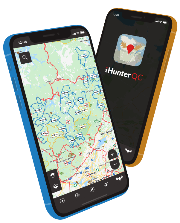
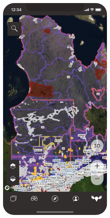
Control your map experience using multiple colour-coded layers. Need even more? Customize it further with your own TMS and WMS data layers.

Base maps

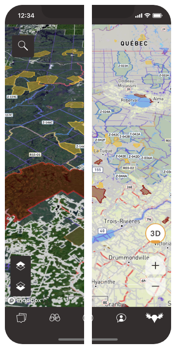
Choose from a range of types including satellite, topo, and road maps. Switch to view in 3D. Link to additional tile servers to add even more options.

Waypoints

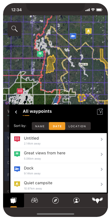
Add customizable markers at any location with icons, photos, descriptions, and weather information. Filter the map to show only the ones you want.

Tracking

Track your position and plot your route directly on the map, including duration, distance, and altitude information.

Drawing

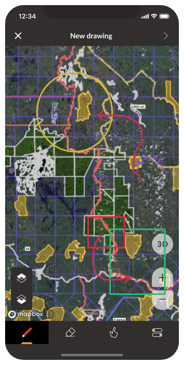
Draw and measure on the map to plan your hunt or mark out important parcels of land and save them for reference.

Sun calculator

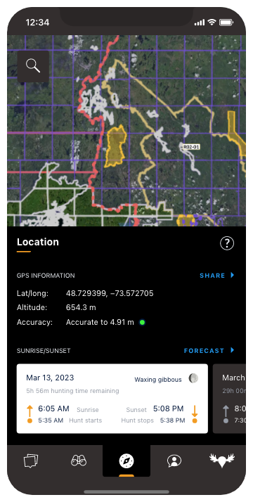
Displays the sunrise/sunset times for today or for the future based on your specific location. No more complicated table lookups.

Map layers

Control your map experience using multiple colour-coded layers. Need even more? Customize it further with your own TMS and WMS data layers.

Base maps

Choose from a range of types including satellite, topo, hybrid, and road maps. Link to additional tile servers to add even more options.

Waypoints

Add customizable markers at any location with icons, photos, descriptions, and weather information. Filter the map to show only the ones you want.

Tracking

Track your position and plot your route directly on the map, including duration, distance, and altitude information.

Drawing

Draw and measure on the map to plan your hunt or mark out important parcels of land and save them for reference.

Sun calculator

Displays the sunrise/sunset times for today or for the future based on your specific location. No more complicated table lookups.